


User Rating: 5 / 5
The American space company SpaceX will launch the American satellite GOES-U into space in June 2024. This five-ton satellite will be launched into space from the Kennedy Space Center by the powerful Falcon Heavy rocket. Using this latest weather and environmental satellite, the US National Oceanic and Atmospheric Administration (NOAA) wants to study extreme weather events and monitor space weather, among other things.
What is GOES-U?
NOAA’s GOES-U is the fourth and final satellite in the Geostationary Operational Environmental Satellite (GOES) R-Series, the most advanced weather and environmental monitoring system in the Western Hemisphere. The GOES-R series provides advanced imagery, atmospheric measurements, real-time lightning mapping, and space weather monitoring. GOES-U will be named GOES-19 after its placement in geostationary orbit. Following successful instrument and system validation, NOAA plans to deploy GOES-19 and replace GOES-16 as GOES East. GOES-19 will operate in conjunction with GOES-18, NOAA’s GOES West satellite. Together, GOES East and GOES West oversee more than half the world—from the west coast of Africa to New Zealand.
Monitoring of weather and environmental phenomena on Earth
The Advanced Baseline Imager (ABI) is the primary instrument in the GOES-R series of satellites for capturing images of land, ocean, and environmental weather. Forecasters use ABI data for a variety of applications including severe weather, hurricanes, aviation, natural disasters, atmosphere, ocean, and cryosphere. The Geostationary Lightning Mapper (GLM) is the first operational lightning monitor to fly in geostationary orbit. Severe thunderstorms often show significant increases in lightning activity, and GLM data can help forecasters zero in on the early development of thunderstorms and the intensification of severe thunderstorms before they produce damaging winds, hail, or even tornadoes.
Solar and Space Weather Monitoring
GOES-U includes a suite of instruments that improve detection of approaching space weather. The Solar Ultraviolet Imager (SUVI) and the Extreme Ultraviolet and X-ray Sensors (EXIS) take images of the Sun and detect solar flares. The Compact Coronagraph-1 (CCOR-1) imagers the Sun’s corona (the outer layer of the Sun’s atmosphere) to detect and characterize coronal mass ejections (CMEs). CCOR-1 is a new instrument for GOES-U and is part of NOAA’s Space Weather Monitoring mission. The Space Environment In-Situ Suite (SEISS) and the Magnetometer monitor energetic particles and magnetic field changes associated with space weather, respectively. Together, the observations from these instruments contribute to space weather forecasting and early warning of power outages, communications and navigation systems, and radiation damage to orbiting satellites.
What will we do with the GOES-U data?
GOES-U will provide critical atmospheric, hydrological, oceanic, climate, solar and space-based data for advanced detection and monitoring of environmental phenomena that threaten the safety and well-being of all in the Western Hemisphere.
- Monitoring of river-meteorological events that can cause flooding and mudslides
- Smoke, dust and aerosol monitoring
- Air Quality Alerts and Alerts Data
- Data to plan flight routes and reduce weather-related flight delays.
- Detecting volcanic eruptions and monitoring ash and sulfur dioxide
- Detecting the risks of heavy rain and flooding
- Sea surface temperature data for monitoring fisheries and marine life
- Plant health monitoring
- Data for long-term climate variability studies
- Detecting meteorites entering Earth’s atmosphere
- Detection of coronal holes, solar flares, and coronal mass ejection source regions
- Characterizing the size, velocity, density, and direction of a coronal mass ejection
- Warning of space weather hazards responsible for disrupting communications, navigation and power outages
- Monitoring active particles responsible for radiation hazards
- Hurricane track and intensity forecast
- Early warning of severe storms and hurricanes
- Fire detection, monitoring and assessment
- Identifying lightning strikes most likely to cause fires
- Low cloud and fog detection
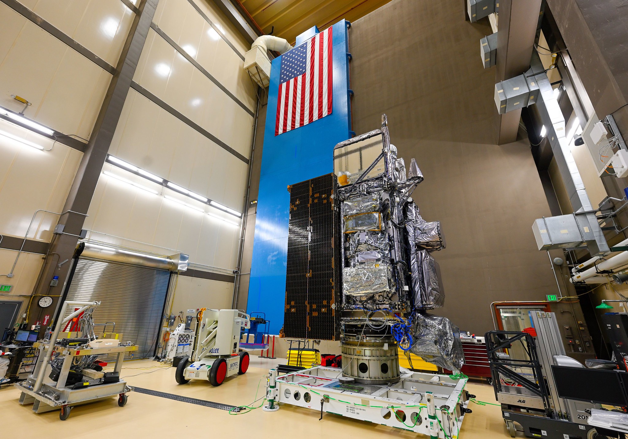 Image: Lockheed Martin

“Total coffee specialist. Hardcore reader. Incurable music scholar. Web guru. Freelance troublemaker. Problem solver. Travel trailblazer.”
More Stories
GALA lacks a chapter on e-health
Weird beer can taste really good.
Planets contain much more water than previously thought